Intro to QGIS - Make a Map
#maptimeOsl
QGIS
What is QGIS?

Licensed under the
GNU General Public License

Who is OSGEO?
Open Source Geospatial Foundation
Community of Developers
QGIS, Grass, OpenLayers, etc.
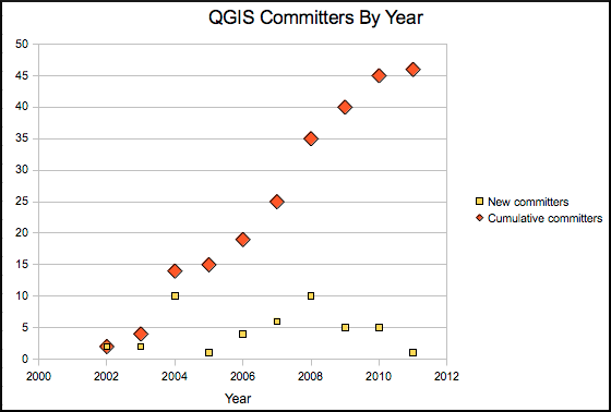
History of QGIS:
Started in 2002 by Gary Sherman
Version 1.0 in 2009
Components of QGIS
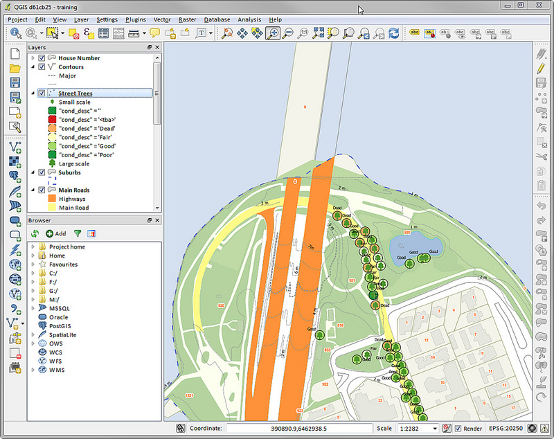
QGIS Desktop
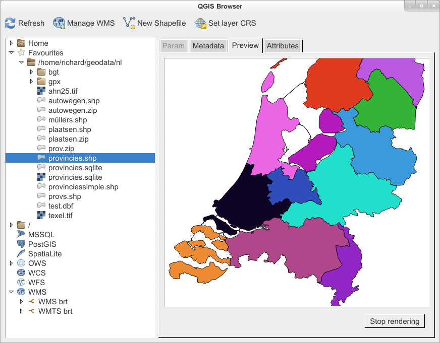
QGIS Browser

QGIS Server
QGIS Web Client
QGIS for Android (beta)
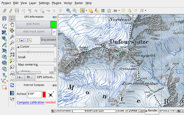
Mobile! Try if you dare!

QField for Android
Touch interface to capture data in the field.
Lets make maps! Download:
QGIS 2.18
Las Palmas
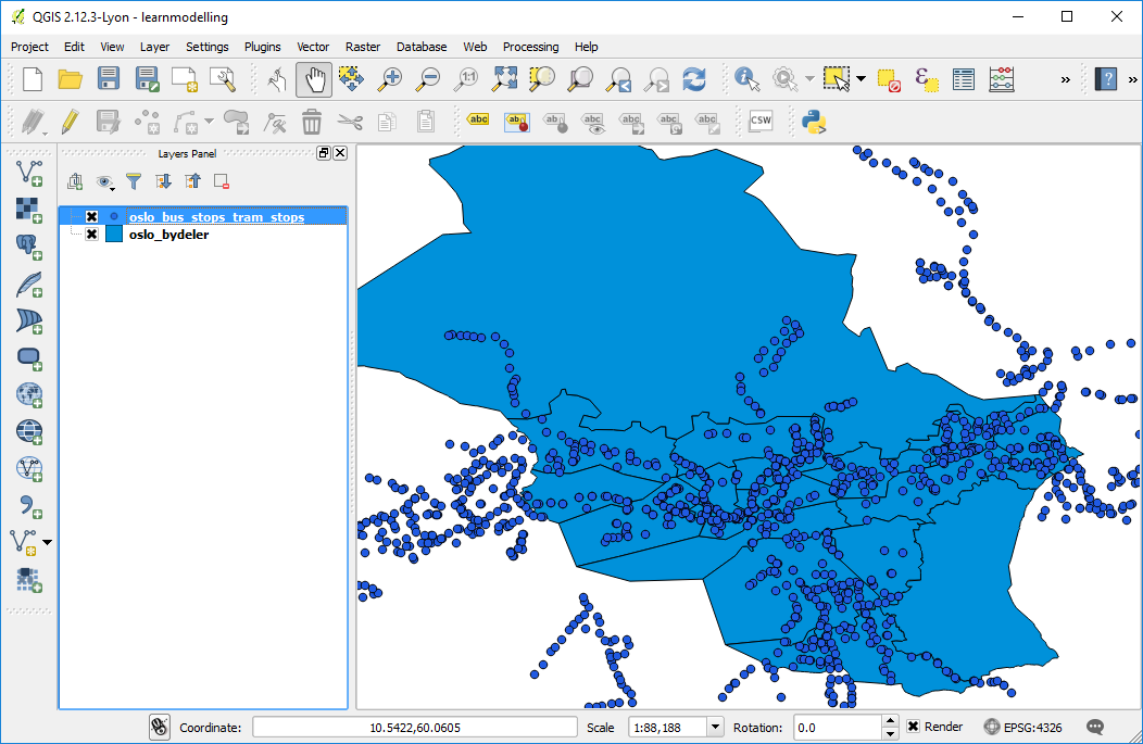
Todays Task: Bus stops!
OSM Metro extracts for Oslo
But First...
a little to get you started.
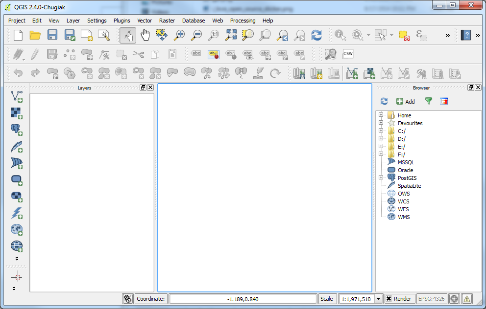
Get familiar with the UI
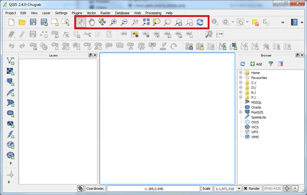
Map Navigation Toolbar
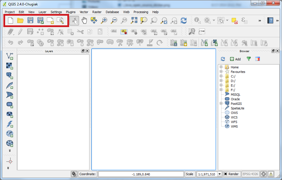
File Toolbar
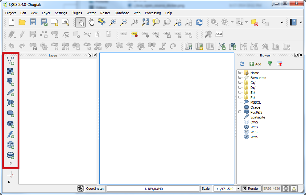
Manage Layers
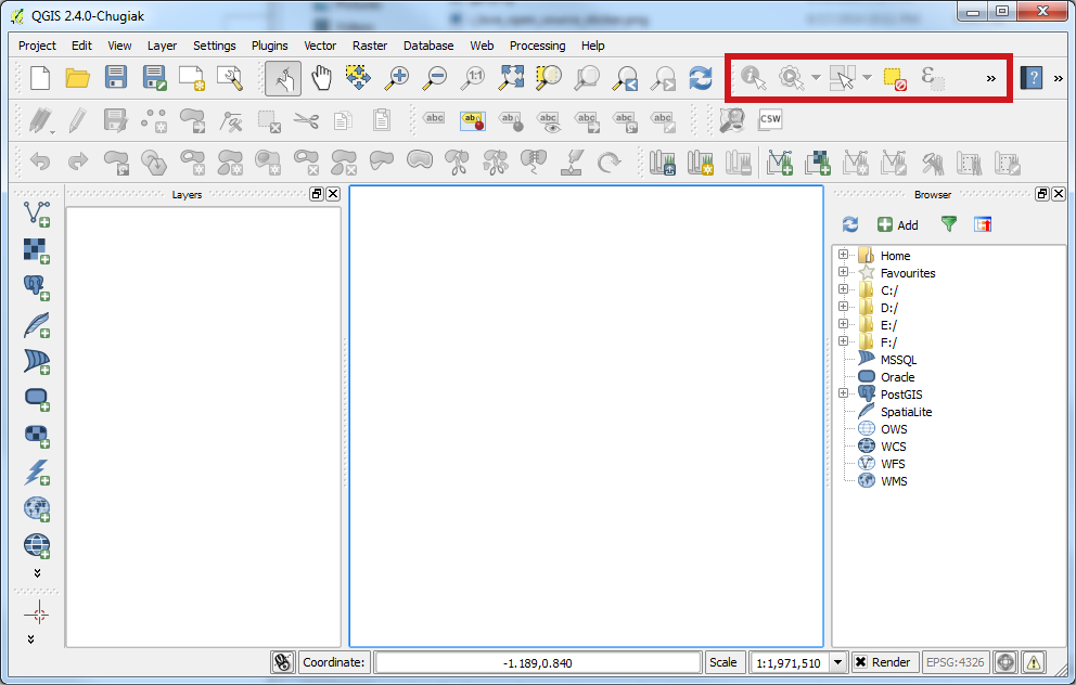
Attribute Toolbar

Layers Panel
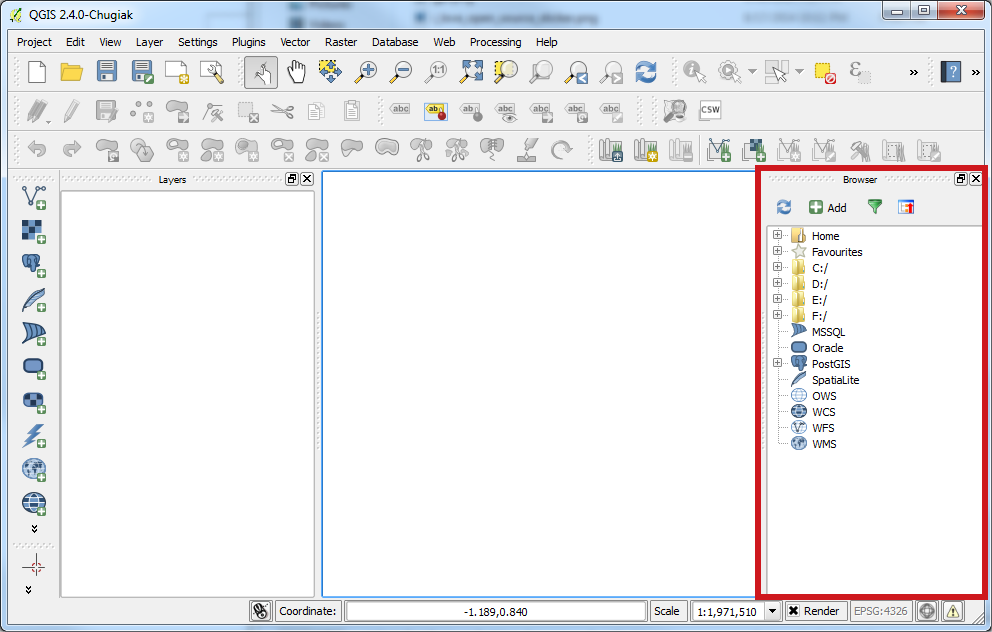
Browser Panel

Others
View -> Toolbars

Add Data
Adding Data - What is supported?
OGR Vector Formats
GDAL Raster Formats
PostGIS, OracleSpatial, SpatialLite
Tabular (csv, tsv, etc.)
Projections
Will default to the projection set in your project, if none WGS84
Layers -> Individual basis
Project -> Project Properties
Reprojecting a Dataset:
Right Click on Layer -> Save As
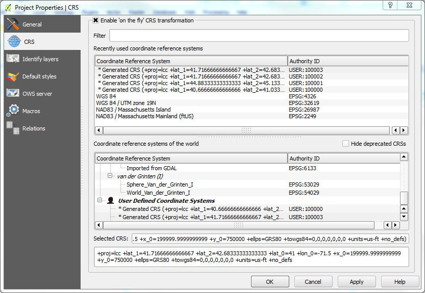
Enable 'on the fly'
Let's Symbolize
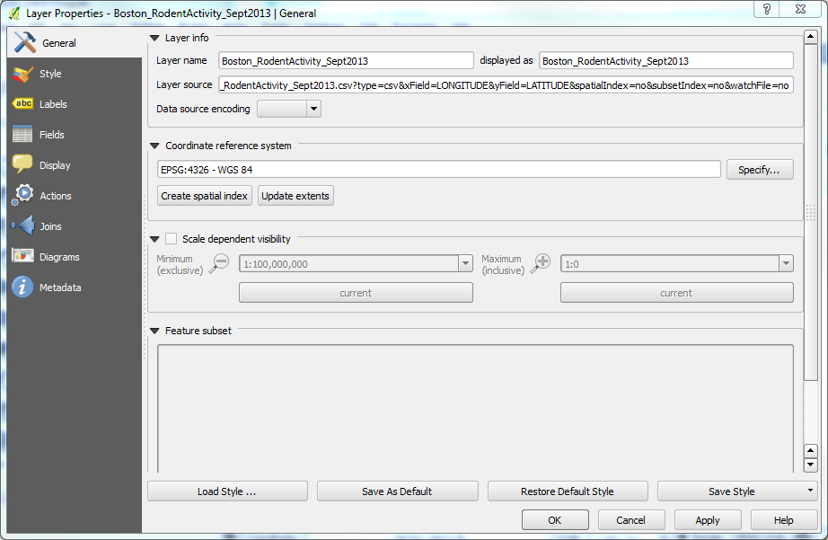
Layer Properties
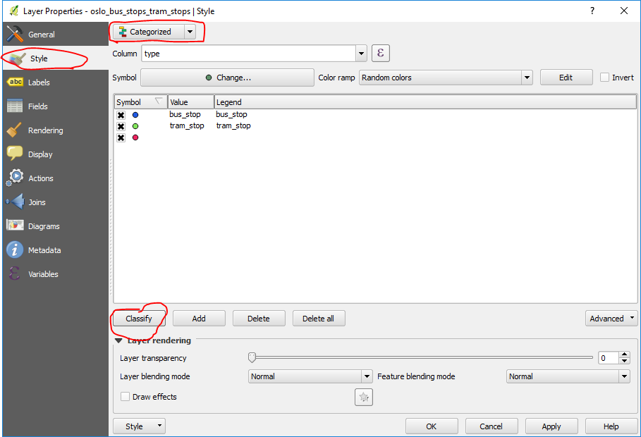
Symbolize in Style Tab

Explore the Other Properties
Labels
Fields
Display
Actions
Joins
Diagrams
Metadata

Editing
We won't really do this today.
but you can!

Geoprocessing
Vector Menu
Raster Menu
Try Points in Polygon
Calculate the Bydeler with the most Bus stops
Has Moved to Processing - Toolbox
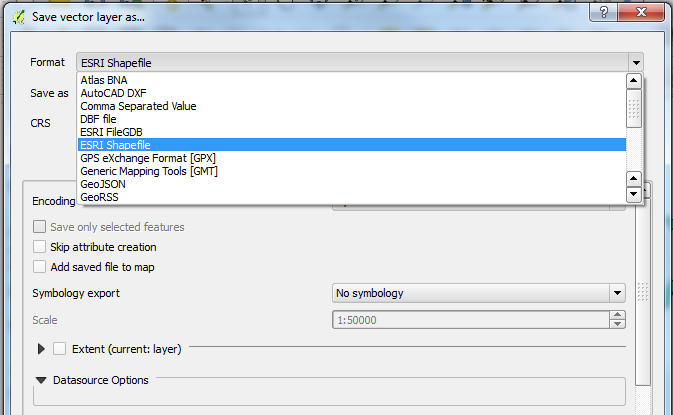
Exporting Datasets
Right click -> Save as...
Preserve your transformations.

To the Print Composer
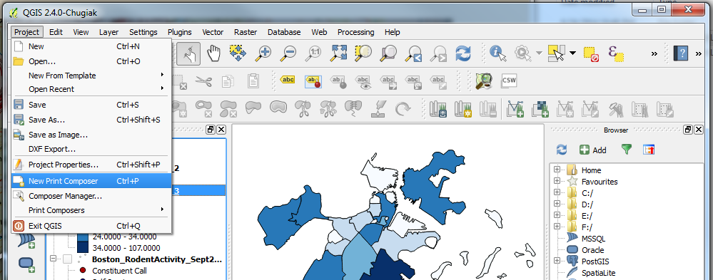
Maps are composed in QGIS using the Print Composer

Add the map element.

The Layout Process

When satisfied:
Export Image
Export PDF
Export SVG
Other QGIS Features:
Map Services
QGIS Server
Web Publishing
Python
Database Connections
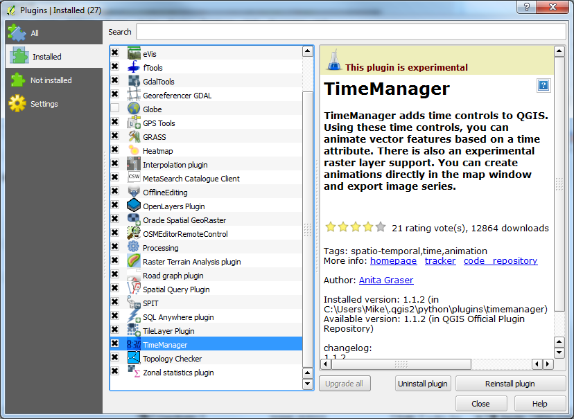
Plugins!
One of the neatest features of QGIS
Tons of Open Source Plugins
Plugins -> Plug In Manager
More QGIS in the Future
This is only the beginning.
But for now...
Make a BUS MAP!
Have at it, and have fun!
Download the Data ZIP